
The 30-Minute onX Hunt Pre-Hunt Tune-Up
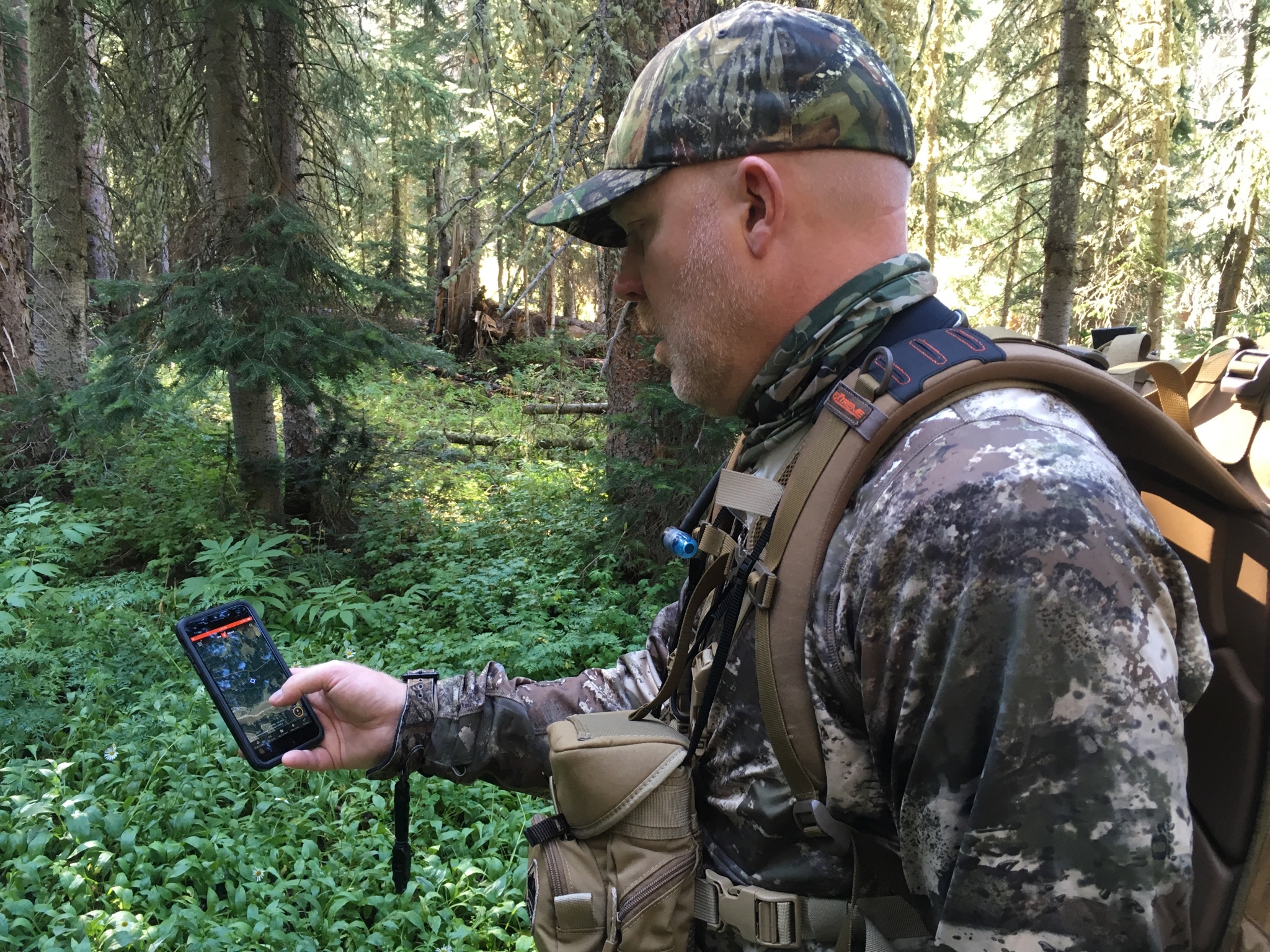
A couple years ago I drove three hours north for the grouse opener, parked at a spot I had scouted the previous fall. I pulled out my phone to check onX to get the lay of the land. No service, which I expected. And it turns out that my onX Hunt membership had lapsed, which I did not expect. And because I did not have service I had no way to renew my membership in the field. I spent that morning hunting from memory and a hunch, which was still fun, but I was sorely missing my favorite app.
That was the last time I showed up unprepared. Now I block out half an hour in early September and run the same checklist every year. It is not glamorous work. It is the hunting equivalent of changing your oil. But it means that from the opener through the end of the season, the app does what I need it to do without me thinking about it.
Here’s the checklist:
1. Renew and Update
Start with the boring part. Open the app and confirm your membership is active and has not quietly lapsed. Then check your app store for an update.
That second step matters more than people think. onX Hunt ships new features constantly, and most of them land in the app without any fanfare. If you are running a version from last February, you are hunting without new features that you already paid for. I check for updates before every trip now, not just in September.
2. Download Your Offline Maps
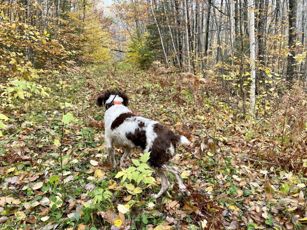
Where I hunt ruffed grouse in northern Minnesota, cell coverage is spotty at best. Offline maps are the single most important thing on this list.
Go through the areas you know you will hunt this fall and download each one. Do not just download the parking lot. Download the whole block of country you might wander into, because the day you push a mile past where you planned is the day you need it.
The change worth knowing about is that 3D Maps and Lidar now work offline. That is a real upgrade for anyone reading terrain in country with no signal. You can sit on a stump in the middle of nowhere and still look at the shape of the ground ahead of you.
3. Audit Last Year’s Waypoints
This is my favorite part, and it is part that a lot of guys skip.
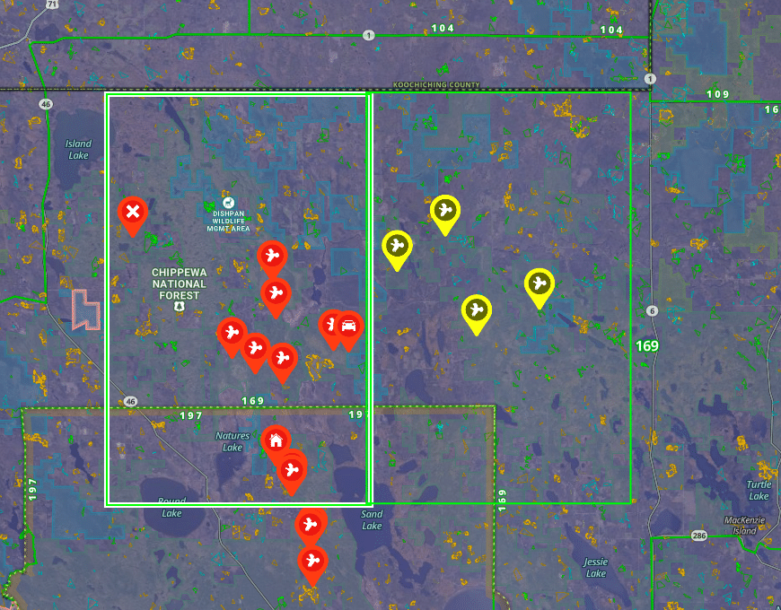
If you have read anything I have written about onX, you know my system. I mark a spot I want to scout with a green waypoint. If I hunt it and find birds, I switch it to red. Simple, and after a few seasons the map starts telling you the truth about where the birds actually are.
The audit is where you make that system earn its keep. Go through last year’s waypoints and do three things:
- Delete the spots that produced nothing across multiple visits. If you hunted it a few times and never moved a bird, it is clutter. Let it go.
- Add a note to the ones that did produce. Not just “birds here,” but what the cover looked like, what time of day, anything noteworthy. You will not remember the details that could be useful next year – I promise you that.
- Put everything in folders. Mine are organized by species and state. When I open the app in South Dakota in October, I do not want to be looking at Minnesota grouse waypoints.
PRO TIP: Do this on your desktop, not your phone. The web map is faster for bulk cleanup, and it is a lot easier to both create and read your own notes on a big screen.
4. Check the Layer Library for New Layers
I have said this in every onX article I have written, and I am going to keep saying it. Open the Layer Library and scroll through the whole thing.
onX adds layers all the time, and they vary state to state. Timber cuts, young aspen, wetlands, and deciduous versus coniferous are the four I live in for grouse. But every year I find something new that I did not know existed. It takes five minutes and it has changed how I hunt at least twice.
While you are in there, turn on the layers you want as your defaults for this fall so you are not fumbling with settings in the dark on opening morning.
5. Set Up SOS
This is a new one. onX added a one-touch SOS feature that connects you with Overwatch Search and Rescue directly from your onX app on your phone.
I hunt alone more than I probably should, in places where I would be really difficult to find if I had an accident. A lot of us do. There’s been a few times I’ve thought, if I break a leg here, I’m going to wind up like Hatchet Jack from the Jeremiah Johnson movie. Up to this point my safety plan was to tell my wife or a buddy the general area I am headed and roughly when to expect me. It worked only because I’ve never actually needed a recuse.
Setting up the SOS services is an extra $50 per year (at this writing) but if you ever have an issue, you have a button you can press if you need help. The best part is the cost of hauling your butt off the mountain is covered in the fee. If you had a medical emergency that required a chopper ride that would run you about $40k. This is absurdly cheap insurance and it only takes a couple of minutes to set up.
6. Share your Location
Location sharing is the new feature I am most excited about this fall, and setting it up takes about two minutes. Open onX Hunt on your phone, tap the Go and Track button in the bottom right corner of the screen, and select Share Location. From there you generate a share link and send it to your group by text. When they tap the link and accept, their live positions show up right on your map. That is the whole process.
A few details worth knowing before you rely on it:
- Up to 10 total members can join a single session.
- Locations update every 5 seconds while everyone is connected to cell service.
- You need a cellular connection to start a session and to transmit live updates. If somebody loses signal, their last known location and the timestamp stay on your map until they reconnect.
That last point is the one to pay attention to, because it cuts both ways. In the country where I chase grouse, everyone in the group is going to lost cell coverage at some point. But seeing where a guy was fifteen minutes ago and knowing which direction he was headed is a lot better than what we had before, which was standing on a ridge waving a hat.
Where this earns its keep is when you split up to work a piece of cover from two sides, or when you are running two trucks between walk-in areas in South Dakota and you want to see where the rest of your crew are hunting. Set up the share session in the parking lot before you spread out.
7. Get It On Your Truck Screen
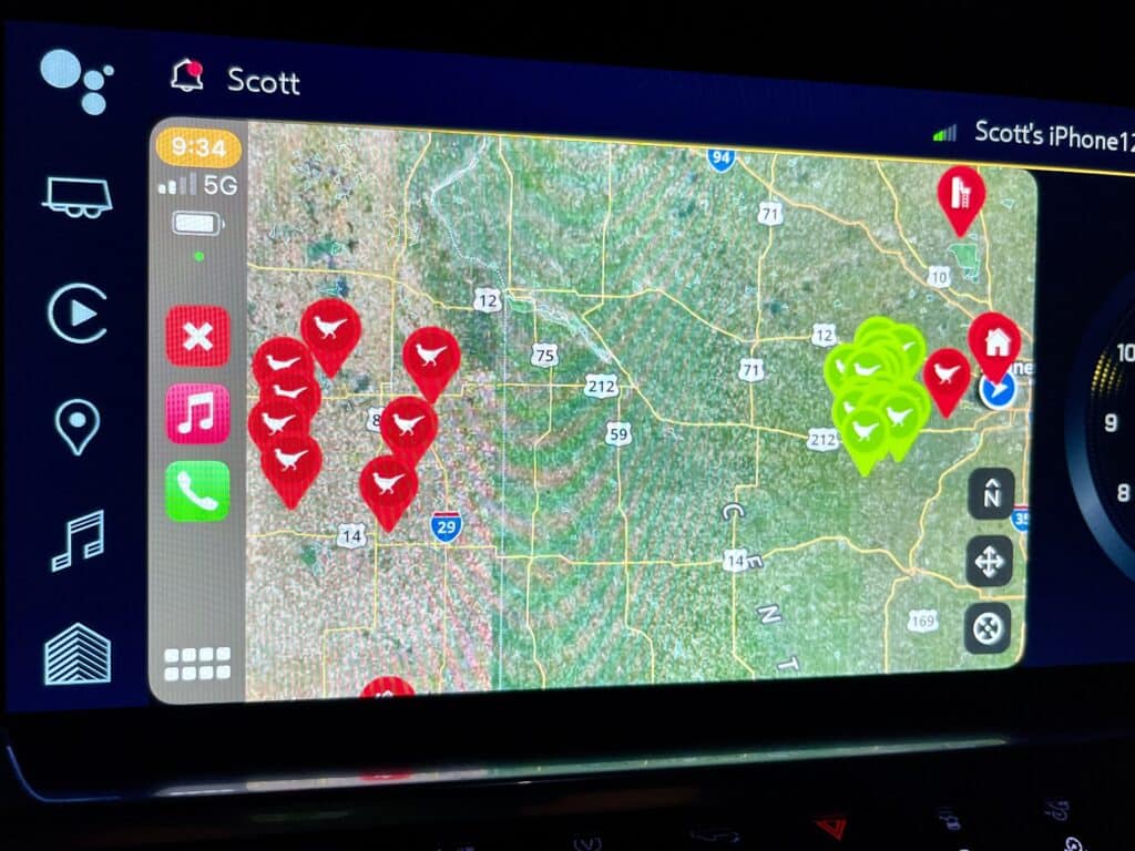
If you have not connected onX to CarPlay or Android Auto, do it now while you are sitting in your driveway and not on a section road in the dark.
I run it on the screen in my Silverado and it has changed how I move between spots. Full map, all my waypoints, public and private boundaries, right there on the dash where I can see it without picking up my phone. For South Dakota pheasant trips where you are covering a lot of ground between walk-in areas, it is worth the price of the membership by itself.
onX Hunt Pre-Hunt Tune-Up – Final Thoughts
Thirty minutes. That is the whole thing.
The reason I keep doing it is that every one of these steps fixes a problem I have actually had in the field. A dead map. A waypoint I could not remember the story behind. A layer I did not know was there. A morning where nobody knew exactly where I was.
Hunting season is short and it goes way too fast. Do the setup work now, in the driveway, in a lawn chair, with a beer if you want. Then spend the fall thinking about birds and elk instead of app settings.
Good luck out there this fall.
Related Content: X Marks the Spot: Expert Tips for Grouse Hunting Success using onX Hunt | Pheasant Hunting Success with onX Hunt | OnX Hunt Elite Membership for the Traveling Hunter: Is It Worth It?
Note: onX Hunt is a sponsor of HuntTested. HuntTested may receive a small commission if you purchase a product from the links on this page. HuntTested may have received product consideration in coordination with this article. All opinions belong to HuntTested.